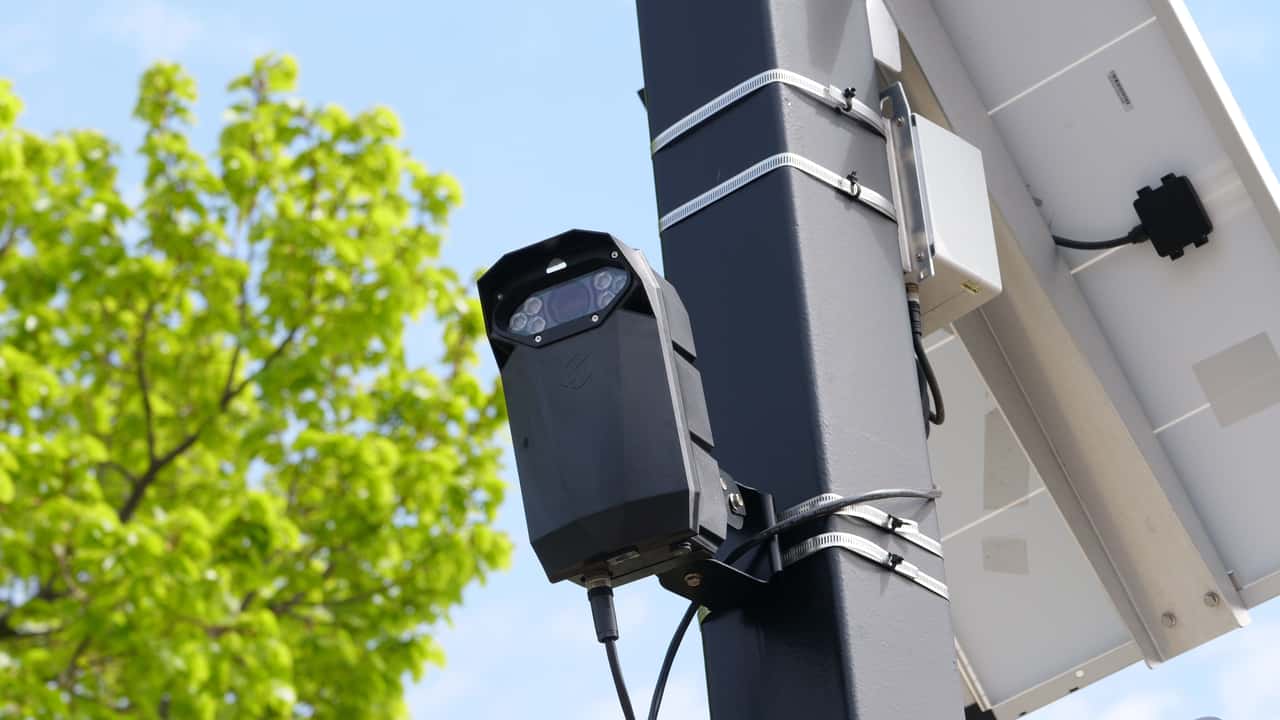
A new feature on MapQuest allows drivers to view real-time locations of roadside monitoring devices, including crowdsourced plate-reader data from services like Flock Safety cameras. The "Surveillance Layer" provides a visual snapshot of where automated license plate readers are active, offering transparency on potential traffic enforcement zones. This tool could help drivers plan routes around areas with increased surveillance, though it relies on user-reported information. The update reflects growing demand for visibility into traffic monitoring technology as its use expands.
Drivers can toggle MapQuest’s Surveillance Layer to see crowdsourced plate-reader locations, including Flock Safety cameras, as a snapshot of reported roadside monitoring.